Moss Glen Falls
Skill Level
Easy
Type
Waterfall hike
Distance
0.6 – 4.2 miles
Time
20 minutes (to falls & back), 2-3 hours (full hike)
Climb
150’ (falls & back), 613’ (full hike)
Trailhead Location
369-615 Moss Glen Falls Rd, Stowe, VT 05672. From the historic village, take route 100 North 3 miles and bear right onto Randolph Road. The first road on the right is Moss Glen Falls Road. Proceed about a half-mile to a small parking area on the left. Follow the trail signs.
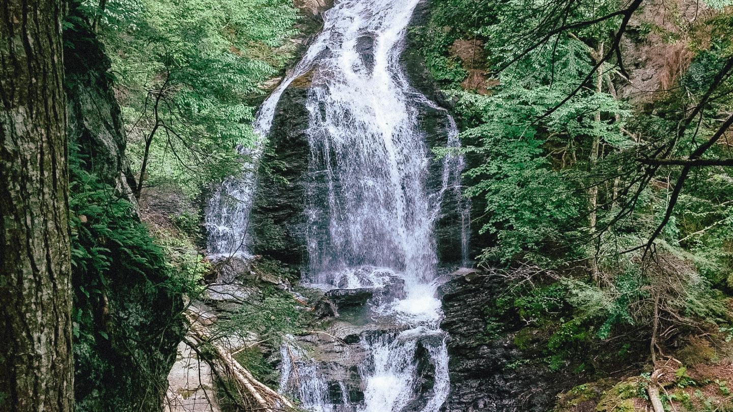
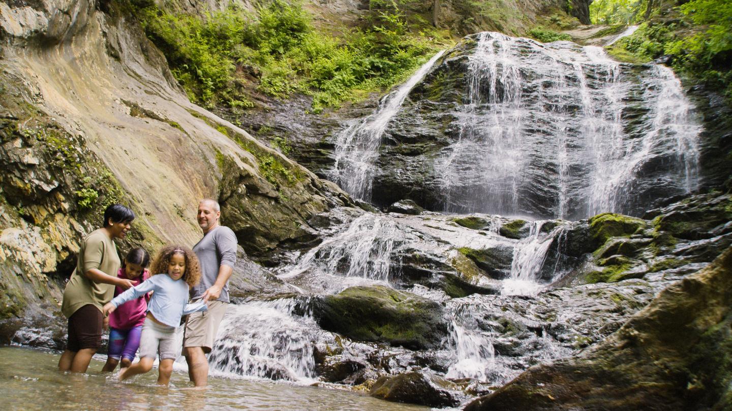
The trail signage is limited, but the trail is quite obvious by following the brook upstream to the falls from the parking area. The trail comes to a fork and hikers can either go left up the steeper rooty climb to the perfect location to take some photos of the falls, or to the right to follow the outer edge of the river to the base of the falls. Be careful at the falls—loose debris at the edge of the trail can be slippery and dangerous. Inexperienced hikers should stay to the left above the falls. Moss Glen Falls is the tallest waterfall in Vermont, cascading 85 feet!
The rest of the route follows an old woods road. At about the 1.5-mile mark (just after a wooden bridge), this road turns left and begins a steep ascent, which actually reaches a viewless summit after the end of the marked route and connects to the VAST snowmobile trail. Be sure to follow the correct trail back.
Additional hiking resources
Flip through the full Stowe Hiking Guide, or continue to browse other local hikes.
